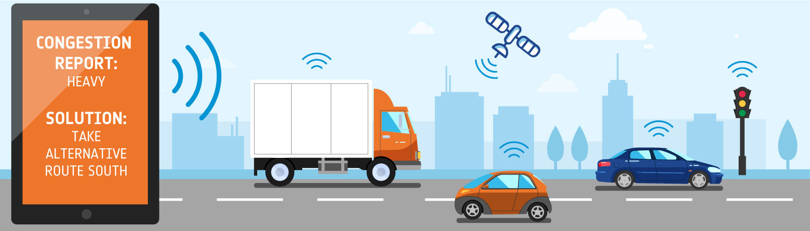
Imagine your vehicle alerting you to any traffic related issues before they become an actual nuisance to you. Not only that, but imagine your vehicle making alternative plans on your behalf before it’s too late.
We’re not talking about GPS systems in your phone or car. We’re talking about a satellite based system being integrated into every vehicle.
The interconnectivity between vehicles will allow for continuous and reliable data access, meaning smoother journeys for everyone!
Here’s how it will all work:
When You’re Driving
Your personal journey to work will be largely affected by the Internet of Things.
Whether driving your own car or doing your part for the environment through public transport, your experience will be aided by space data.
Your personal vehicle will be linked to a myriad of transport hubs and satellites. Satellites will be able to pick up data and quickly communicate it to the hub located in the affected area.
Your local hub will then notify your vehicle, which in turn will create the best route possible for your situation. This will avoid unnecessary congestion in the case of weather related hazards or other accidents, as vehicles within a certain radius will be notified in good time.

When Someone Else Drives
If you’re using public transport, satellite data will help keep your journey running smoothly.
For example, buses won’t follow a strict timetabled route. Instead, you’ll be able to notify the closest bus of certain details (such as location and pick up time) – the closest bus will then adapt its route to pick you up.
In general, the upkeep and maintenance of public transport will be largely revamped. Satellites will be able to identify potential issues before they become bigger problems, resulting in a more efficient process and less hassle for the traveller.

Current Examples of Smart Transport
There are a few current examples where smart transport has been implemented successfully:
Hazardous Goods
SaMoLoSa is a service which monitors the transport of hazardous goods.
Normally this type of service is extremely difficult to monitor in real time, but SaMoLoSa utilises satellites to achieve this.
Tracking hazardous goods using quick and reliable data ensures a safer journey as well as better loss prevention.
Winter Road Maintenance
Smart Transport is also being utilised effectively to maintain roads during the winter period.
Assist WRM makes use of satellite technology to take control of winter road maintenance operations, reducing the need for manual intervention.
As a result, operators can focus purely on driving their vehicles without having to think about other processes.
Courier Services
Satellite data can be used for delivery and courier services for urban and suburban areas.
TeleRetail will dispatch autonomous vehicles to deliver goods to residents on demand, allowing for more cost-effective and effective urban logistics.
If you’re a business using satellite technology or working on a project involving space, ESA offers a variety of funding and support opportunities. Your business could receive zero-equity funding, assistance and access to ESA’s network.
You can view their funding opportunities here.